 I’ve had a bone to pick with Maxwell Falls. Several years ago, baby Hadley and I joined one of my friends from Colorado Mountain Mamas to hike this trail that winds into the Arapahoe National Forest along Maxwell Creek. Only we never made it there. This hike in Evergreen, Colo. was only supposed to be a couple of miles and yet we kept going and going and going. We eventually turned back without ever finding the falls.
If there’s anything I hate, it’s unfinished business.
My Thursdays have been dedicated unto hiking and mid-October, I made attempt No. 2. There are two ways to access Maxwell Falls: a 1-mile hike (perfect for families), a 3-mile loop (both accessible via the upper trailhead lot), and a 4-mile round-trip trek from the lower trailhead lot.
Or, if you’re like me, get lost, go on a couple of detours and your adventure will last about three hours.
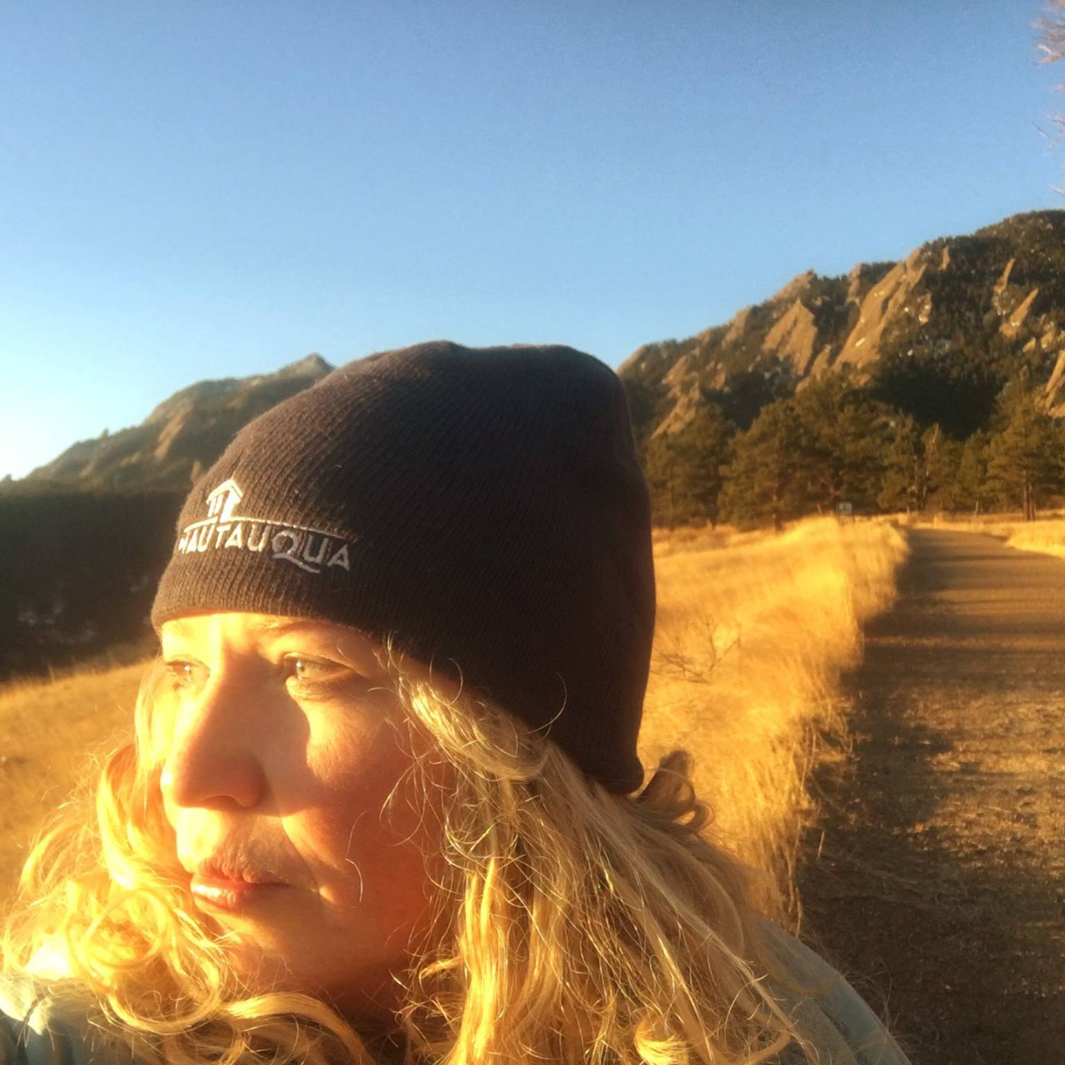
I’ve hiked pretty much every trail along Denver’s Front Range and waterfalls are a rarity so that made Maxwell Falls that much more desirable. I parked at the Lower Trailhead Lot and was delighted that the scenic trail in the Ponderosa forest maintained a steady upward pitch. The October temperatures were brisk, the golden aspens were hanging on for dear life and there was a dusting of snow on the trail. Pretty much, my ideal hiking conditions.
I’d been hiking for about a half hour and all was going well until The Stream Crossing of Doom.
What I did: Instead of skirting across the rocks strategically placed on the creek, I kept going straight and noticed a trail that continued up the valley on the other side of the creek. I followed the sketchy trail, over logs and fallen brush from the flood for about 20 minutes before turning back.
What I should have done: Crossed the stream and taken a sharp right up the mountain. Consider yourself warned.
Once I finally made it back on the trail, all was clear sailing until I reached the falls. There wasn’t a clear view of Maxwell Falls from the trail and darnit it I’d hiked all that way and I was only going to hear them. I scrambled down the boulders, snapped a few shots of the pretty, understated waterfall’s icicles that cascaded over the tiered boulders.
 Now, a smarter person would have headed back to the Lower Lot but my confidence had returned so I figured I’d make my hike even longer by doing the Cliff Loop. It took me away from my creek-side view into a beautiful forest with a stunning glimpse at Evergreen’s charms. But remember that snow? The loop is not as frequented, the signage is lacking and the snow made it tough in places to find the trail. After about 45 minutes of hiking, it cut back down near the creek and I was dismayed when it didn’t connect with the original trail to Maxwell Falls. I was lost. Again.
I called Jamie but he didn’t answer (what’s the point of downloading your lamentations if someone isn’t there to hear them?) I said a quick prayer along the lines of “Heavenly Father, I knew I was stupid by trying to do this loop but do you think you could cast me a lifeline?” Two minutes later, I spotted a bridge and the original trail. Prayers answered!
Forty-five minutes later, I was finally back at the car, exhausted but jubilant I’d finally seen Maxwell Falls. Now, all that remains on my bucket list is accessing them via the Upper Parking Lot.
Only for that one, I’ll recruit my kiddos. They should consider themselves warned.
======
Getting there: From Denver, take I-70 west to Exit 252 and merge onto CO-74 South/Evergreen Parkway. Drive 7.6 miles and take a slight left onto Bear Creek Road. After half a mile, turn right onto CO Road 73, continue for a mile, and turn right onto South Brook Forest Road. The lower parking lot and trailhead are 3.6 miles in, on your left. To reach the upper parking lot, continue past there for about 1.6 miles more until the road turns to Black Mountain Drive/CO Road 78; drive 1.2 more miles to the upper lot (on the left).
 I'm a Canadian-born mom of two, former Denver Post columnist, family travel writer, editor of MileHighMamas.com and 9News contributor. Expert on all things Utah, Denver, family and travel. Lover of laughter and life. Happily married to a man obsessed with growing The Great Pumpkin.