My work-life balance has been nil with waaaaay too much playtime with the kids. I’m hoping to write about all our hiking adventures (and believe me, there are MANY) but until that time, my iPhone tells the story of our first month of summer break.
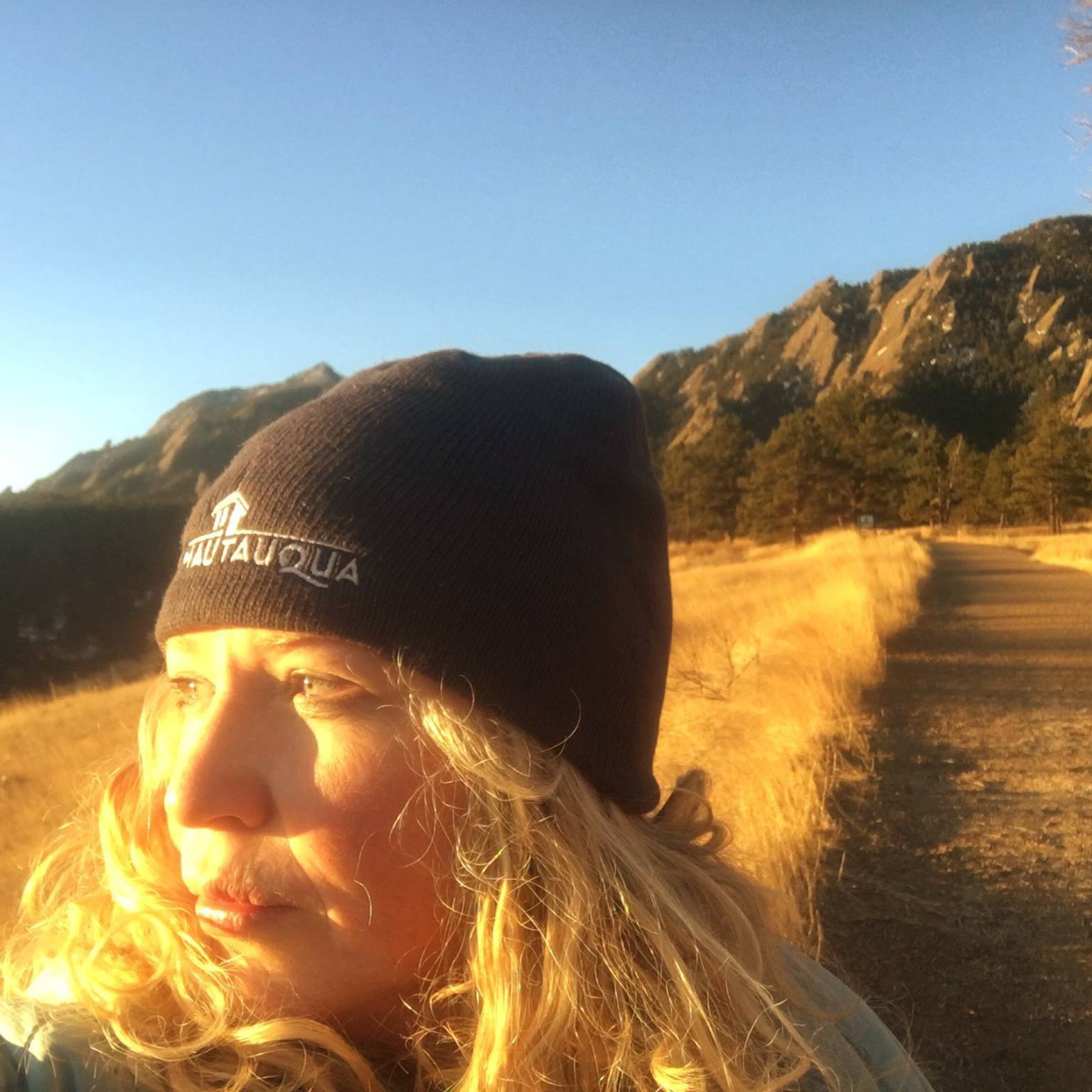
Chautauqua in Boulder
Our month-long party started with a glorious getaway to Chautauqua in Boulder complete with a charming cottage, emerald hikes bursting with jeweled wildflowers, a gourmet meal at the Dining Hall and Snow White reenacted by Theatre-Hikes Colorado.

Chautauqua in Boulder

- Chautauqua meadow outside of our cottage

- Snow White Theatre Hike!
With a kickoff to summer like that, it’s hard to go wrong. And we haven’t.
Giving Back
One day, we did a tour of the Food Bank of the Rockies where we learned about their kid’s program Kung Food Fighters to teach kids how to help fight child hunger.

Food Bank of the Rockies
But obviously not how to do Kung Foo moves.
Kicking It
Then there was the Colorado Rapids, our first-ever professional soccer game.

Colorado Rapids
We expect greater things from our soccer-playing son now.
Cave of the Winds
OK, technically our trip to Colorado Springs and The Broadmoor was late-May but I need to fit in our awe-inspiring cave tour of the 500-million-year-old Cave of the Winds, which was discovered in 1881.

Cave of the Winds
An exciting new addition to the already-cool caves is the Wind Walker Challenge Course. This three-story obstacle course is located on the rim of a 600-foot drop into Williams Canyon and has a challenging maze of steel beams, swinging ropes and ladders. Bode barely met the height requirement and I was proud of him for trying.

Wind Walker Challenge Course
Though it may take him a few years to recover from it. #Scary
Utah Fun
While Hadley was at Camp Chief Ouray for a week, Bode took his first solo flight to Utah. But then I crashed his party on the last day by scheduling a business trip in Park City where I also crammed in a quick hike to the Living Room, roller-bladed the Jordan River Parkway for the first time in 10 years (we’ve both changed!), had a cousin sleepover with the edible twinnies and storytime with Grandma.

Utah!
Talk about a memorable trip!
Carnivores Unite
Then, Bode and I headed straight up to YMCA of the Rockies near Winter Park where we got a tour of Hadley’s camp and had some fun adventures of our own. Sane people would have turned around after picking her up but not us. We headed further west into the mountains for our Father’s Day tradition: the Frisco BBQ Challenge where we met up with carnivore-loving Jamie.
Golden Breckenridge
But the fun didn’t stop there during that masochistic week (I crammed in four trips, but who’s counting?) Breckenridge is just a 15-minute drive away from Frisco and if we were to have a cabin anywhere, it would be there. It was like coming home as we spent the morning at Peak 8 Fun Park, which boasts the most awesome line-up of summer activities of any of Colorado’s ski resorts with an alpine coaster AND slide, gold panning, a maze, bungee trampoline, miniature golf and a bounce house.

Breckenridge Peak 8 Fun Park
We were thrilled to be in Breckenridge during Kingdom Days, which celebrates the town’s colorful history.
Or rather, lack of color as you can see from this old-fashioned photo. Note to self: Next time stay and watch Kingdom Days’ uproarious Outhouse Races.
Breckenridge was founded back in the 1860s thanks to the many gold discoveries. I have always wanted to go on a mine tour and was thrilled when Country Boy Mine Tour was a part of our itinerary.

Country Boy Mine Tours
There is still gold in them thar hills but it costs more money to extract it than it is worth. Following the tour, we panned for gold and Hadley unearthed a real sliver of gold, which I then proceeded to lose.
So much for our chance at millions.
Breckenridge is part of an extensive paved trail system that connects to mountain towns Frisco, Dillon, Keystone, Copper Mountain and Vail. That evening, Hadley was exhausted after her week at camp so Jamie stayed behind while Bode and I took to the trail. I had an epiphany: almost exactly two years ago, Hadley took her first solo flight to Utah (like Bode) and she first tested out her new mountain bike on Breckenridge’s trail system, just as Bode and I did that evening on his newly-minted mountain bike.

New bikes on the Breckenridge bike path: Hadley (2011) and Bode (2013)
His ride went smashingly on the dirt trails…until he ended up slowly smashing into the bridge. Luckily he made a quick recovery.
Party Boy
For the past few years, we have been in Canada for Bode’s July birthday, which has resulted in a number of “pretend birthdays” leading up to the real deal. He wanted to celebrate with his buddies at Big Time Fun Trampoline Center and it was the cheapest, easiest party I’ve ever thrown: Invite friends, buy cake, show up.

Big Time Partiers
Why have I been killing myself all these years with parties, food and entertainment at my house?
Finally a Fish
For the third year in a row, I organized summer swim lessons for some of my good friends from our ward. It is a two-week pool party for the kiddos and a lot of fun to hang out with the Real Housewives of Jefferson County.
And most noteworthy? Bode has finally figured out how to swim and graduated from Squids, which is the first time he has ever passed a swim class. There may be hope yet.
Camping Disasters
I was looking forward to our camping trip yesterday to Camp Dick in the Roosevelt National Forest. Like so many of our adventures, it started well with blue skies, beautiful hikes, creek-playing and boulder-scaling.

Camp Dick
But then ended so very, very badly. Details tomorrow.

Lyons Soda Fountain
But I suggest you drown your sorrows with ice cream sodas, floats, freezes, phosphates and classy sundaes at Lyons Soda Fountain, one of the state’s best preserved and oldest soda fountains in Lyons, Colo. Because ice cream makes everyone feel better.
A Little Bit of Magic
Lest you think we haven’t had any downtime in June, think again. Every chance we got, whether we were at the park, in the car driving 14,265 feet to Mount Evans’ summit or in the basement, I was reading the kids their newest obsession: Time well spent in what turned out to be a magical month.


 I'm a Canadian-born mom of two, former Denver Post columnist, family travel writer, editor of MileHighMamas.com and 9News contributor. Expert on all things Utah, Denver, family and travel. Lover of laughter and life. Happily married to a man obsessed with growing The Great Pumpkin.