Everyone needs a friend like Tina. We met when Hadley and her son Nolan were babies and we were a part of our hiking group, Colorado Mountain Mamas. Though we live on opposite sides of Denver, we’ve stayed friends through the years and she’s the kind of person I talk to about anything…and drag to anything. Cases in point: she participated in the Red Rocks Fitness Challenge where we worked out every Saturday morning at 7 a.m. one summer. Or that horridly steep hike up White Ranch when we laughed the whole way through (though we wanted to cry).
I recently asked her if she wanted to join me for a hike to Roxborough State Park. Located in southwest Denver, this 4,000-acre park is a bit of haul for me but has been on my bucket list for ages because of its dramatic red-rock formations like the Fountain Formation, Lyons Formation and the Dakota Hogback.
We really didn’t have a plan…we never do and I figured we’d just find a trail and wing it. I offered to pay the $7 state park entrance fee but when we pulled up to the kiosk, no one was working and a sign guided us to a pay station where we were to put our money in an envelope. Problem No. 1: neither of us had $7. I had larger bills but there was no way to make change so Tina and I dumped out every coin we had and inserted it in the envelope. Problem No. 2: the envelope was too bulky to fit in the small slot. And so we stuffed and we stuffed and we stuffed until the envelope was completely shredded, coins everywhere and we ended up just feeding our money like it was a vending machine.
Apologies to the State Park employee who finds it. In our defense, maybe you should have someone working there to avoid lunatics like us.
We parked near the visitor center, grabbed a map and I quickly identified the longest trail in the park: the 6.4-mile round-trip hike to 7,160-foot Carpenter Peak. We wasted no time starting our hike, which is a designated Colorado Natural Area, National Cultural District and National Natural Landmark.
The trail was an intermediate pitch through Ponderosa pine, woodlands, Douglas fir forests, Gambel oak thickets, and tall and mixed grass prairie. And we nailed the fall colors perfectly. 

We dubbed these enchanting oak archways “The Shire”


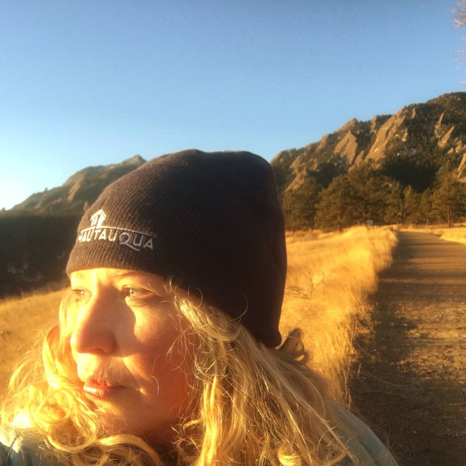
There was sunshine in my soul that day
There were plenty of geologic wonders along the way . The steeply dipping monoclinal sedimentary sections have resulted in the series of three major hogbacks and strike valleys, exposing highly scenic dipping plates, spires and monoliths. The granite Carpenter Peak offered the best views in the park and testified how far we had come.

View from Carpenter Peak
We had kept a steady pace on our climb but picked up our velocity on the descent because we were pressed for time to pick up our kids. For the final half-mile, we were both limping a bit–Tina from hot spots on her heel and me with my plantar fasciitis. I praised her for being a swell “friend” and she corrected me with “sucker.”
We raced back to the car and as she dropped me off, I thanked her profusely and offered.
“I’m sorry that took so long.”
“It always does with you.”
But she didn’t mind one bit. I need more friends like her.
=====
Getting there: From Wadsworth Blvd. in Denver, follow Wadsworth south past Chatfield State Park. Then turn left on Waterton Rd., which is just before the entrance to Lockheed Martin. Keep following Waterton Rd. as it crosses the South Platte River, until it ends at North Rampart Range Rd. Turn right, (south), onto North Rampart Range Rd. Then continue on for a short while until you reach the intersection of North Rampart Range Rd. and Roxborough Park Rd. Turn left onto Roxborough Park Rd. Then take the next right, (about 50 yards away), and follow it to the park entrance. From the entrance to Roxborough State Park, follow the dirt road to either of the two parking areas. The visitor center is a short walk from the second parking lot and is a good place to pick up a map/brochure of the park.
 I'm a Canadian-born mom of two, former Denver Post columnist, family travel writer, editor of MileHighMamas.com and 9News contributor. Expert on all things Utah, Denver, family and travel. Lover of laughter and life. Happily married to a man obsessed with growing The Great Pumpkin.