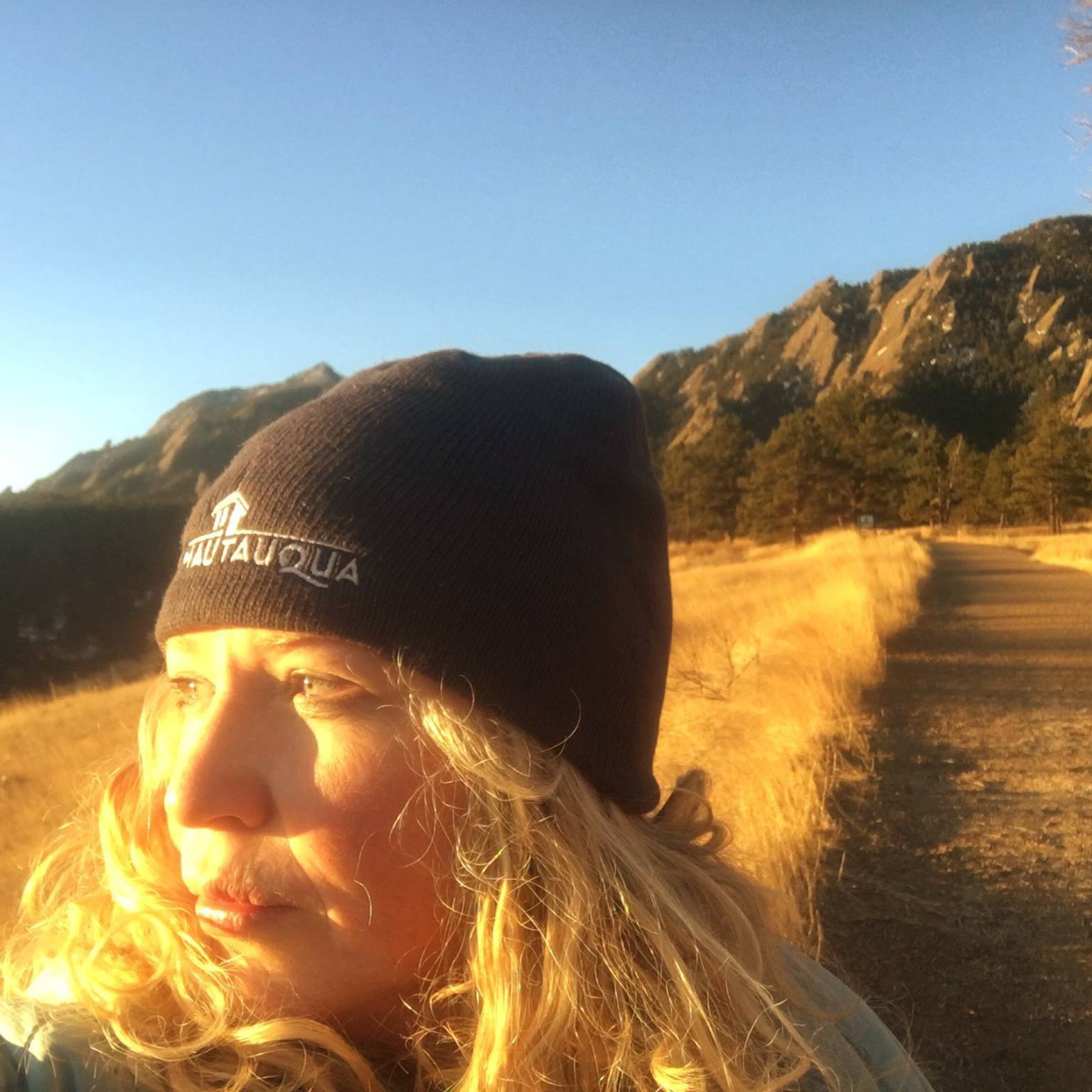
 Originally published in Sports Guide magazine, 2002. © Photo: Away.com.
Good travel companions are difficult to come by. I should know—I’ve had my share. Since “roughing it” means downgrading from the Hilton to a Motel 6 for the majority of my female friends, I generally travel with men. I have learned to accept their flaws (i.e. messiness and smell), and they have learned to accept mine (i.e. my loving written exploits of their failings.)
Much to my dismay, I found myself bereft of companionship during a recent mid-week trip to the San Juan Mountains in southwestern Colorado. I assured myself it was because of demanding work schedules and not as payback for my exposés. I mean, who could resist a land of craggy contrasts and stiletto cliffs–with me?
I have longed to return to the San Juan Mountains since skiing Durango Mountain Resort a couple of years ago. The range’s 12,000-square miles compose the highest area of elevation in the lower 48. With harsh, challenging, and rugged peaks, the backcountry adventures translate into some of the most dangerous and wildly irregular in the world.
Many male friends questioned the wisdom of my solo trip, which inspired me to action. I mountain biked a portion of the famous Colorado Trail, bagged two 14ers (14,000-foot peaks) in one day, subjected my Jeep to a suicidal 4X4 road, summoned spirits by camping in a ghost town, and hiked some of Colorado’s most alluring summits. As reward for my backcountry exploits, I pampered myself to a night at the Wyman Hotel and Inn in a quaint mining town—a bliss that most men just wouldn’t appreciate.
Doing Durango
The solo trip began a bit surly. Upon arriving in Durango, I spent the morning at a garage repairing my blown-out tire that had self-destructed in the boonies. That was after I had backtracked 65 miles when I realized I had forgotten my wallet at a restaurant. Oh, and then my Jeep’s tape deck broke. Good thing I brought numerous books-on-tape for my lonely drive.
I remained undaunted. My plan was to start in Durango and follow the majority of the San Juan Skyway, a 236-mile scenic byway acclaimed as one of the most beautiful drives in the United States. It crosses 5 million acres of San Juan and Uncompahgre National Forests, passing through Victorian mining towns and historic ranching communities.
Nestled in the Animas River Valley in the afternoon shadows of the San Juan Mountains, Durango is renowned for its mountain biking. A variety of great rides only a short distance from town provide easy access to the backcountry.
After reviewing my options, I took a bite out of the 480-mile Colorado Trail. OK, more like a tiny morsel. The Dry Fork Loop has several options, one of which is an 18-mile loop that begins in town on U.S. 550 and turns onto Junction Creek Road, the westernmost trailhead of the Colorado Trail. The other is a 9-mile loop that begins up LightnerCreek Road.
Since I had wasted most of my day at the garage, I opted for the shorter loop. I followed the singletrack clockwise about 3 miles up a moderate slope through pine and aspen groves until I met the Colorado Trail. I turned right (left leads to Kennebec Pass, another option) and climbed a short section before riding downhill for 3 miles.
I watched for my turnoff at Hoffheins Connection and upon reaching it, kept right on going. No, I did not miss it (which is usually the case) but I instead checked out the great views at Gudy’s Rest, a few hundred yards down the Colorado Trail. I explored the trail for a while before climbing back up and descending Hoffheins Connection until I met the Dry Fork trailhead.
The Heber Creeper This Ain’t
There is a movie star in Durango—the Durango and Silverton Narrow Gauge Train. This hot not-so-little chugger has appeared in more than 24 movies that include Butch Cassidy and the Sundance Kid and How the West Was Won. During the summer months, the train makes the journey to Silverton and winds through beautiful aspen forests, climbs narrow canyons, and hugs granite cliffs that stand sentry over the glistening waters of the Animas River.
I had a great experience on the train during my last trip. But a repeat performance as a sardine-packed tourist did not tempt. The only exception would have been for the train’s unique backcountry experience: superb hiking and backpacking routes off the Needleton and Elk Park stop-offs. Needleton’s Chicago Basin is a hotspot that serves as a base camp for scaling a network of summits, including three 14ers: Sunlight, Mount Eolus and Winom Peaks.
The Alpine Loop–Colorado Style
I instead delved deeper into the backcountry on my own fuel. I planned to follow the San Juan Skyway 49 miles to Silverton and then take the 65-mile Alpine Loop Backcountry Byway to the Silver Creek Trailhead. I would then conquer 14,034-foot Redcloud and 14,001-foot Sunshine Peaks the next day. This 11.7-mile hike has a grisly 4,634-feet elevation gain and is rated difficult due to the distance and total elevation gain.
Unlike most paved scenic byways, backcountry byways focus on out-of-the-way-roads that are typically gravel or dirt. Nearly two-thirds of the Alpine Loop is dirt roads, suitable for two-wheel drive vehicles. I, of course, chose the one-third that was not. My guidebook ubiquitously said, “high-clearance, four-wheel-drive vehicles are recommended.”
I came to realize that when traversing over 12,620-foot Cinnamon Pass, one of the highest in the San Juans, there should be a more definitive distinction between “recommended” and “required.”
Mine sites and ghost towns dot the loop that winds between Lake City, Silverton and Ouray. I had an apparition of my own after I passed by ghost town Animas Forks when I noticed something hovering in mid-air; something that resembled the bar end on my bike. I was disconcerted to discover my bike clinging on for dear life.
I encountered the only car I would see that evening, and the man came to my rescue (I’m sure the fact I was blocking the road had no bearing upon his service). We determined it would be best to throw my bike in back. As I prepared to leave, he looked at me doubtfully. “You’re going up there all by yourself, Hon?” I nodded. “Well, watch out” he chimed before heading back to town.
Now, well wishes generally vary but they are usually along the lines of “Good luck” or even “Be careful.” His warning threw me for a loop…until I reached the turnoff for Cinnamon Pass. A precipitous and technical cluster of rocks had “bottoming out” written all over it. A very steep slope that shot straight up to the sky followed.
My Jeep has low clearance due to the running boards that serve as stepstool for mounting my bike. This has led my friend John to derisively nickname it “Girlie Jeep” (the man has no respect for short people.) As I pondered this, along with Mr. Watch Out’s warning, my fire was fueled and I shifted gears into 4-Low.
As I crawled over the next several miles, I saw my life flash before my eyes in crimson flickers, which I later attributed to my red Jeep jolting with each wallop. When I reached Cinnamon Pass, poor Girlie Jeep had become a woman.
The view was worth every painful scrape. I had witnessed the transformation from a tree-covered valley to alpine tundra, found only in the Arctic and in isolated areas in high mountain ranges. Mottled grasses and flowers struggled for survival in the very short growing season. Gazing east of the valley, I could see Handies, Redcloud and Sunshine Peaks, three of the “fourteeners” in the Alpine Triangle.
After some nasty switchbacks, I reached American Basin at the bottom of the valley. The Silver Creek trailhead was another 4 miles. I camped at the trailhead across from Burrows Park where only two structures remained in this ghost town.
Two 14ers in the Bag
My guidebook recommended an early start because afternoon storms are common at 14,000 feet. I arose to a clear sky at 5 a.m. Everything proceeded pretty smoothly. Sure, my pita bread lunch was fungus-infested and I had to turn back a few minutes into the hike to retrieve my trekking poles. But these were all minor in the Amber Scale of Catastrophes.
I followed the west side of the Silver Creek drainage for 3 miles to the head of the basin. From there the trail grew steeper through a broad tundra valley on its way to a saddle northeast of Redcloud Peak. The sun had made its appearance but the valley was still cloaked in shadows when I reached the saddle.
The hike earns its difficult ranking at this point and climbs steeply up a scree ridge to Redcloud. Mountain goats or maniacs had formed a trail that shot straight up. I chose switchbacks. Or at least that was my intent. I somehow found myself slip-sliding up the treacherously straight path at one point, cursing my deviation.
Redcloud’s summit was in view. Of course, it turned out to be a false summit, with the real Redcloud taunting me in the distance. I determinedly gulped the thin air and made a conquering yelp once at the summit. I paused only momentarily as I eyed Sunshine 1.5 miles away. Bagging two 14ers was palpable and I continued on without even so much as a swig of water.
I dropped back down to 13,480 feet, a nice reprieve. Regaining more than 500 feet in a steep haul up Sunshine was not. My final minutes were agonizing but I dedicated my climb to Girlie Jeep owners and to every woman whose backcountry prowess has ever been berated by skeptical men.
Sunshine Peak was an island in a sea of mountains. Flush with triumph, I nestled in a makeshift rock shelter to eat my fungal pita. I gazed down the long spine of the San Juans, my body marinated in sweat. The wind caused my unruly hair to do a fine impression of a Joshua tree. I stayed for an hour, drinking in the mountain air that conspired with light. Distant horizons were magnified and 14,000-foot peaks a hundred miles away appeared near at hand.
I vowed I would rather slog through swamps and tar pits than climb up Redcloud again. I discovered an apparent “descent” into the South Fork drainage in the saddle between the two mountains. The prospect of saving two miles and skipping out on climbing back up Redcloud was inviting. But the steep, dangerous talus tucked between two rocky ramparts was not. I resigned myself to the tar pit and retraced my steps, trying to comfort myself this was equal to bagging three 14ers. Err…right?
Silverton’s Heaven on Earth
I spent the night in paradise. Of course, anything that had a shower and bed qualified as paradisiacal glory at that point. But I had christened Silverton heaven on earth during my first trip a couple of years ago. Nestled at 9,318 feet in the heart of the San Juan
Mountains, this quaint mining town is a gem ringed by mountain splendor.
If you stay anywhere in Silverton, it should be at the town’s premier B&B: the Wyman Hotel and Inn. Built in 1902, this red-sandstone building has period antiques, arched
windows, high ceilings, theme rooms, gourmet breakfast and a perfect blend of nostalgic and contemporary facilities. Owners Lorraine and Tom lavished me with attention and gave me a tour of the 19 rooms and honeymoon suite—a restored caboose in the courtyard.
I then enjoyed a Tuesday night on the town. I wandered the colorful boardwalks past
Victorian buildings, restaurants and saloons that displayed reminders of the early boom times. I ate heartily at the Trail House, Silverton’s newest restaurant, and became privy to all the town gossip. I then spent a quiet evening in my Jacuzzi tub watching a movie.
Oh, and gazing out my window at summits I did not have to conquer. This had to be heaven.
The Skyway’s Homestretch
Over the next few days, I traced the San Juan Skyway to Ouray and Telluride, with a detour to Ophir Pass.
I was enchanted with Ouray’s verdant 14,000-foot peaks in this ”Switzerland of America.” Ouray opened the world’s first park devoted exclusively to ice climbing in 1995, and thousands of climbers have descended upon the hamlet ever since. Great hiking is in abundance, with rock climbing and a kayak park in the developmental stages.
In the mountains cocooning Ouray, water proves that gravity works. Natural hot springs flow into pools at the base of towering peaks, vapor caves lead into the earth and iridescent waterfalls line the walls.
I went on two short hikes: to Cascade and Box Canyon Falls. Feeling ambitious, I even climbed a whopping 0.25-mile to an overlook above Box Canyon. This inspired me to think expansive, effusive thoughts, including the wisdom of building a bridge directly over the falls so as to completely obstruct the view.
I then hiked 6 miles along the Bear Creek National Scenic Trail, drove to Telluride and hiked 4 miles to Bear Creek Falls the next day. But it was during a detour to Ophir, a small mining town 8 miles from Telluride, that my loop of the skyway came full circle.
I had taken the turnoff for no other reason than the great views that beckoned. I was
pleased to discover some of the best-kept backcountry secrets in the area, along with the town of Ophir. Damaged by avalanches in the early 1900s, I was told Ophir is currently experiencing a revival (if you consider population: 70 a revival.) Hardcore mountaineers live here including many of Telluride’s mountain guides and ski patrol.
It was atop Ophir Pass (where four-wheel drive is recommended but NOT required), that I encountered Him: Mr. Watch Out. He was pulled to the side so I could pass on the narrow road.
“You made it out,” he commented. I boasted about bagging the 14ers.
He went in for the kill: “So, where’s the bike?”
I flippantly replied it must have fallen off somewhere along the Alpine Loop.
This did not seem to shock him, confirming his opinion of me.
Then he surprised me, “I’ve gotta tell you, Blondie. I didn’t think you had it in you.”
He and everyone else, and admittedly neither did I. But I learned on that trip to Colorado’s rooftop that it is not so much about bagging summits as it is about surmounting personal ones.
-Amber Borowski Johnson ©


 I'm a Canadian-born mom of two, former Denver Post columnist, family travel writer, editor of MileHighMamas.com and 9News contributor. Expert on all things Utah, Denver, family and travel. Lover of laughter and life. Happily married to a man obsessed with growing The Great Pumpkin.